
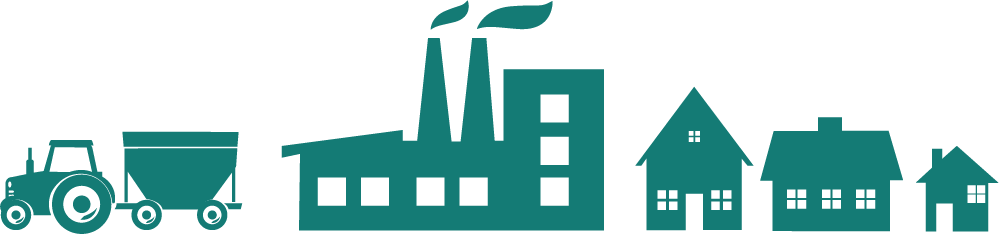
The largest agricultural & manufacturing Living Laboratory in the country, now easily accessible for academic research.
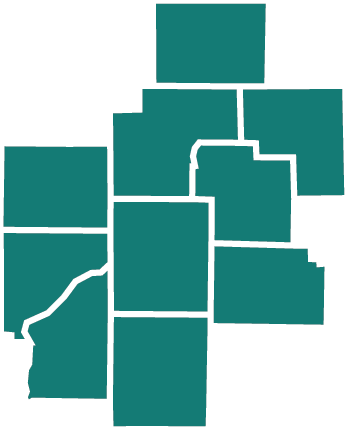
The WHIN living lab covers a 10-county region, the "Wabash Heartland" of Indiana, comprising over 4,300 square miles. WHIN's expansive network of internet-connected sensors are fueling a growing ecosystem of technology-enabled farms and factories. WHIN serves its charitable purpose by aggregating and disseminating data it obtains under license from operational network, sensor, and other technology related to the Internet of Things and installed with the assistance of WHIN in the living lab region.
Structured
Our data comes from sensors we have deployed throughout the region, so it is uniquely structured and consistent. We can build the database the same time we deploy the sensors.
Real. World. Data.
All of the data WHIN is generating come from farmers and industries working in the real world. Nothing is simulated or extrapolated.
Ubiquitous
The entire 10 county region of north-central Indiana is part of the Wabash Heartland Network. This region is home to about 400 factories and about 4,000 farms.
FEATURED DATA SET

WHIN Weather Network Data
Weather data collected from over 160 weather stations in our 10-county living lab.
MORE DETAILSWeather Station Data
Wabash Heartland Innovation Network is deploying hundreds of weather stations across our region and sharing information our farmers can use to become more efficient, save time, and increase yields. We’re on our way to making the densest agricultural weather network in the country.
- Uniform deployment of hardware across the entire living lab.
- 15 minute interval reporting
- Surface temperature and humidity.
- Wind speed and direction, including gusts.
- Soil temperature and moisture at 4 depths.
- Solar radiation.
- Tipping rain bucket measuring 1/100" increments.


1281 Win Hentschel Boulevard Suite 2310, West Lafayette, IN 47906 · info@whin.org


